“Map of The Stony Man Region in the Shenandoah National Park” Digital Map
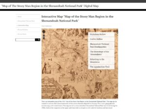
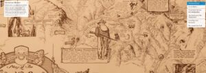
This semester has gone by in a flash and I feel like I have gained new digital history skills and gotten a chance to improve on the skills that I learned from previous courses. At the beginning of this semester I had an idea to tie in my seminar paper, my work on the Green Tunnel Podcast, and my budding interest in Appalachian history into a digital humanities project for this course. I had come across this amazing hand drawn map from the year 1935 of a portion of Shenandoah National Park on display at the Potomac Appalachian Trail Club and with a bit of inspiration from Mills, I decided this was going to be the foundation for a digital history project centered around the perceptions of the mountain folk that lived in the area that became Shenandoah National Park. I knew from the start that I wanted this to be an interactive map on an Omeka site.
This was not something I had done with past projects, so I knew I would be using a different set of skills than I had previously. This came with it’s own set of issues, mainly on the technical side. I struggled to bring my vision that I had created in my own mind and then drawn out on paper during the prototyping stage. I really wished to create an annotated map that was able to be zoomable, while also having links to my exhibit pages that would provide more context to the icons on the digitized map. I was not able to get the map to be annotated in the way I had originally thought, and the Omeka site does ultimately look a little bit different than what I had envisioned at first.
Although I did find a solution to my technical issues, and used the plugin called ‘Neatline’ to create a version of an annotated map that was able to be zoomed in on, as well as having ‘waypoints’ to help direct a user. The waypoints are located on the righthand side that direct the user to different icons on the map that represent different locations and how the mountain folk were depicted. Depending on which waypoint that is clicked, the user will be taken all over the map to learn more about the mountain folk’s story. While this plugin is not exactly what I had envisioned at first, I think this was the best solution to achieve the result I had intended to make the user’s experience easy and to get across my historical message.
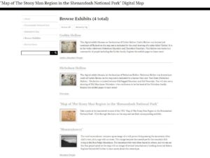
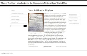
The other major portion of the digital project is the digital exhibits that showcase various primary sources that help to tell the story of the mountain folks in the Blue Ridge Mountain Region. The exhibits correlate to the interactive map, touching on different aspects of mountain life. I had intended this portion of the site to benefit history teachers as this can be a way to tell a different story about 1930s Virginia and government power. There are five exhibits total that discuss the following topics; Corbin Hollow, Nicholson Hollow, Mountaineers, Mountain Schools, and finally an exhibit that has the 1935 map that is annotated with links to the other exhibits based off the icons on the map.
Working on this digital project and completing the various assignments and readings over the course of this class has not only solidified my understanding of the importance of digital history work, but also made me realize as I go forward in my career, that this is the type of work I would like to continue to do. Digital history projects can create access to history that may not have been possible to some groups previously. This course has also taught me the importance of sharing and creating these digital history for the public.