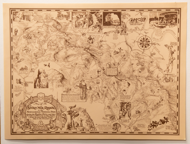
"Map of The Stony Man Region in the Shenandoah National Park"
Dublin Core
Title
"Map of The Stony Man Region in the Shenandoah National Park"
Subject
Shenandoah National Park, Potomac Appalachian trail Club, Blue Ridge Mountains, Mountain families
Description
This still photo of the "Map of The Stony Man Region in the Shenandoah National Park" that is a reproduced copy of the map that was originally drawn by Tom Culverwell in 1935. This reproduced copy was created by the Potomac Appalachian Trail Club in 1964.
Creator
Tom Culverwell
Publisher
Potomac Appalachian Trail Club
Date
Photographed: March, 17th, 2022
Reproduced: 1964
Original map drawn: 1935
Contributor
Potomac Appalachian Trail Club
Tom Culverwell
Mills Kelly
Format
Still photograph
Language
English
Identifier
Digital map of Shenandoah National Park
Coverage
Shenandoah National Park 1935
Still Image Item Type Metadata
Original Format
Map
Physical Dimensions
24 inches height by 18 inches length
Citation
Tom Culverwell, “"Map of The Stony Man Region in the Shenandoah National Park",” "Map of The Stony Man Region in the Shenandoah National Park" Digital Map, accessed April 19, 2024, https://ashleypalazzo.org/SNPdigitalprojectcollection/items/show/16.
